Mapping & 3D Modeling
Orthomosaic maps, 3D models, and stockpile measurements — turn your site into accurate, measurable data.
A drone flight is the fastest way to turn a site into data. In under an hour of flying, we capture thousands of overlapping images that become a measurable map or 3D model — current, accurate, and shareable with anyone on your team.
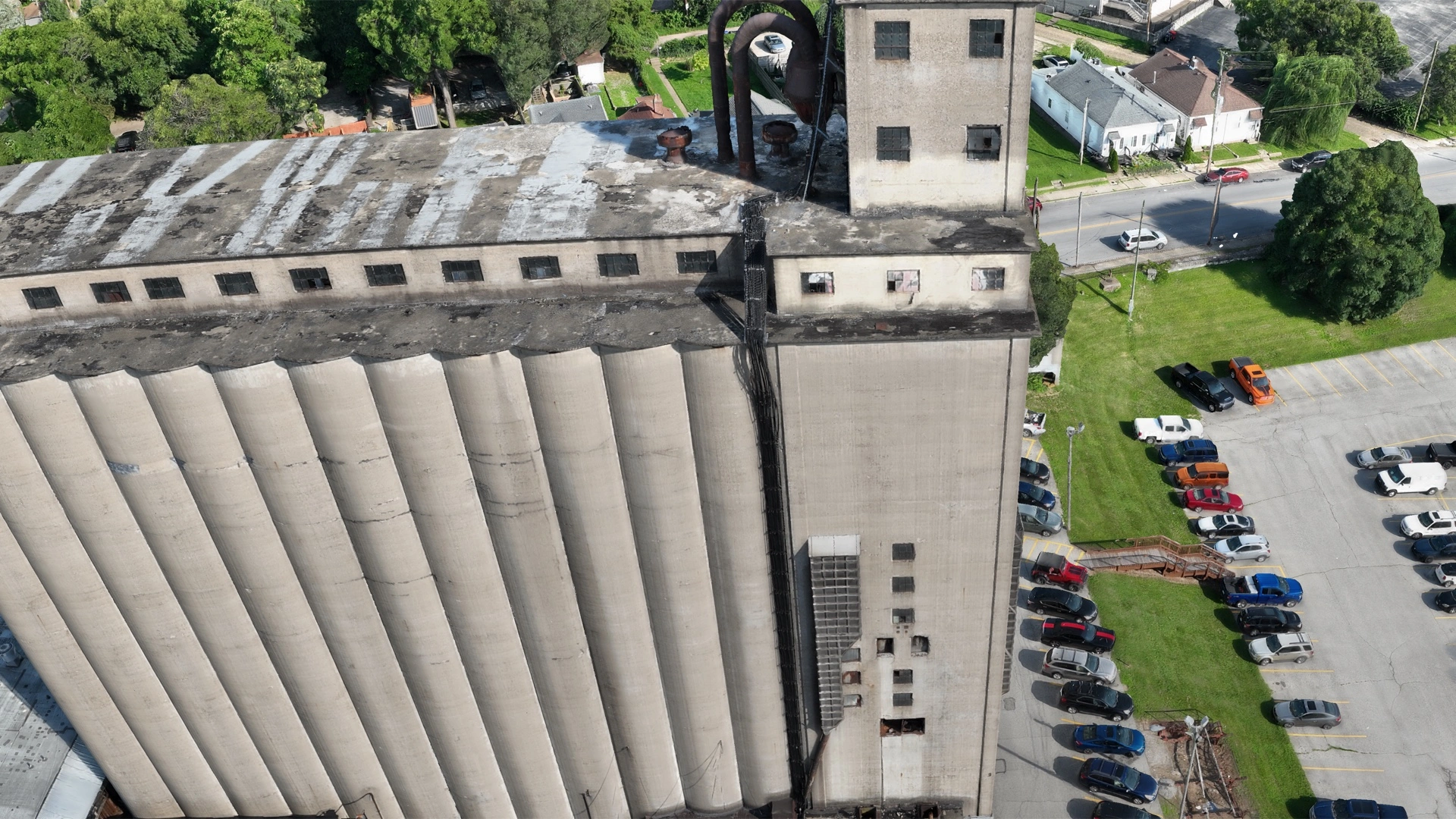
2D orthomosaics give you an up-to-date, high-resolution map of the whole site — far sharper and more current than satellite imagery. 3D models and digital twins capture structures and terrain in measurable detail, from full-site models down to facade-level captures fine enough to see individual mortar joints. Stockpile volumetrics replace risky climbs and rough estimates with repeatable, defensible numbers.
Deliverables come as shareable web links your whole team can open in a browser, plus standard formats (GeoTIFF, OBJ, LAS) for your GIS, CAD, or estimating software.
Common questions
How accurate are stockpile measurements?
Photogrammetric volume measurement is typically within a few percent of ground-surveyed volumes when flown correctly — accurate enough for inventory tracking and billing on most materials operations, at a fraction of the cost of a ground crew.
What's a digital twin?
A measurable 3D model of your building or site, built from thousands of overlapping aerial photos. You can inspect it from any angle, take measurements, and archive the exact condition of the asset on a given date.
What do I need to provide?
Site access and any known constraints (active equipment, sensitive areas). For survey-grade accuracy requirements we'll discuss ground control options during scoping.