
FAA Part 107 aerial inspection services
See the asset clearly—without sending someone up first.
Systematic drone inspections for telecom towers, rooftops, facades, and other elevated infrastructure.
Deliverables range from organized image sets and precise measurements to a calibrated point cloud and a photorealistic Gaussian digital twin ready for measurement, annotation, and sharing.
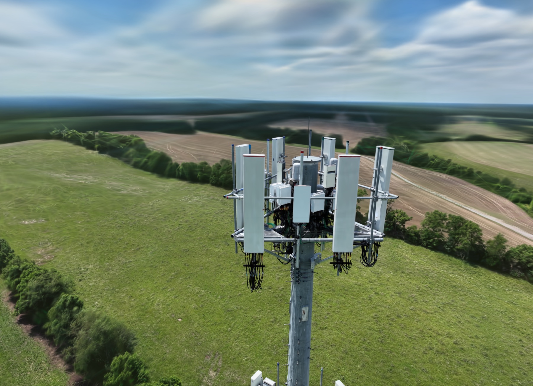
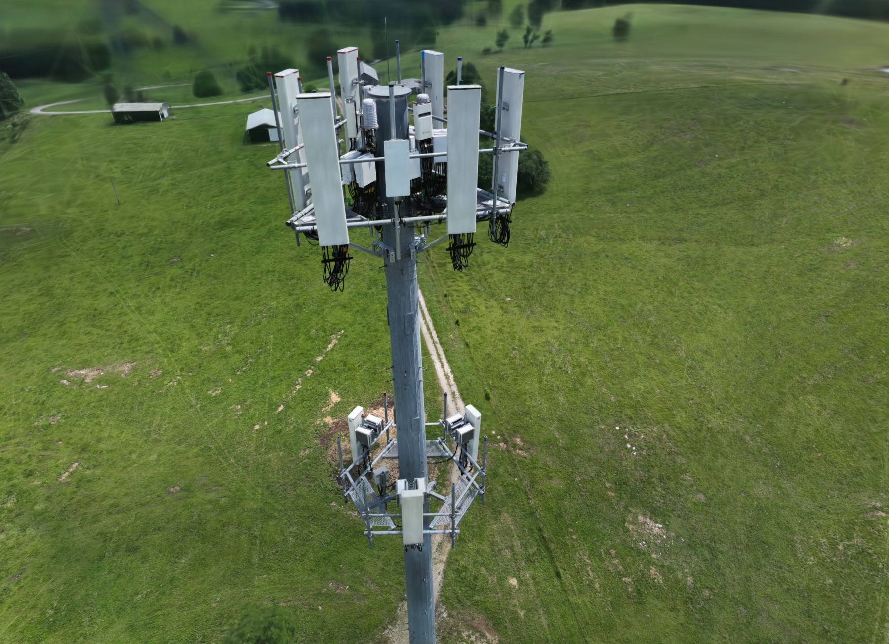
Cell Tower Inspection Twin
719 aligned drone views · point cloud · interactive 3D delivery
Safer access
Review elevated and difficult areas while keeping the initial evidence-gathering flight safely on the ground.
Repeatable coverage
A planned capture route builds consistent views across faces, sectors, elevations, and components.
Remote review
Give distributed stakeholders a shared visual record they can examine without coordinating another site visit.
Clear documentation
Receive organized media that makes specific locations and observations easier to communicate.
Built around the asset
Inspection capabilities
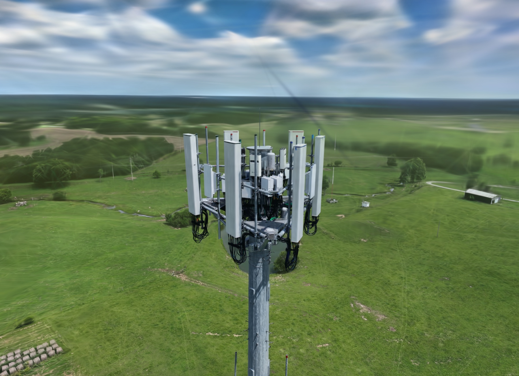
Telecom towers and equipment
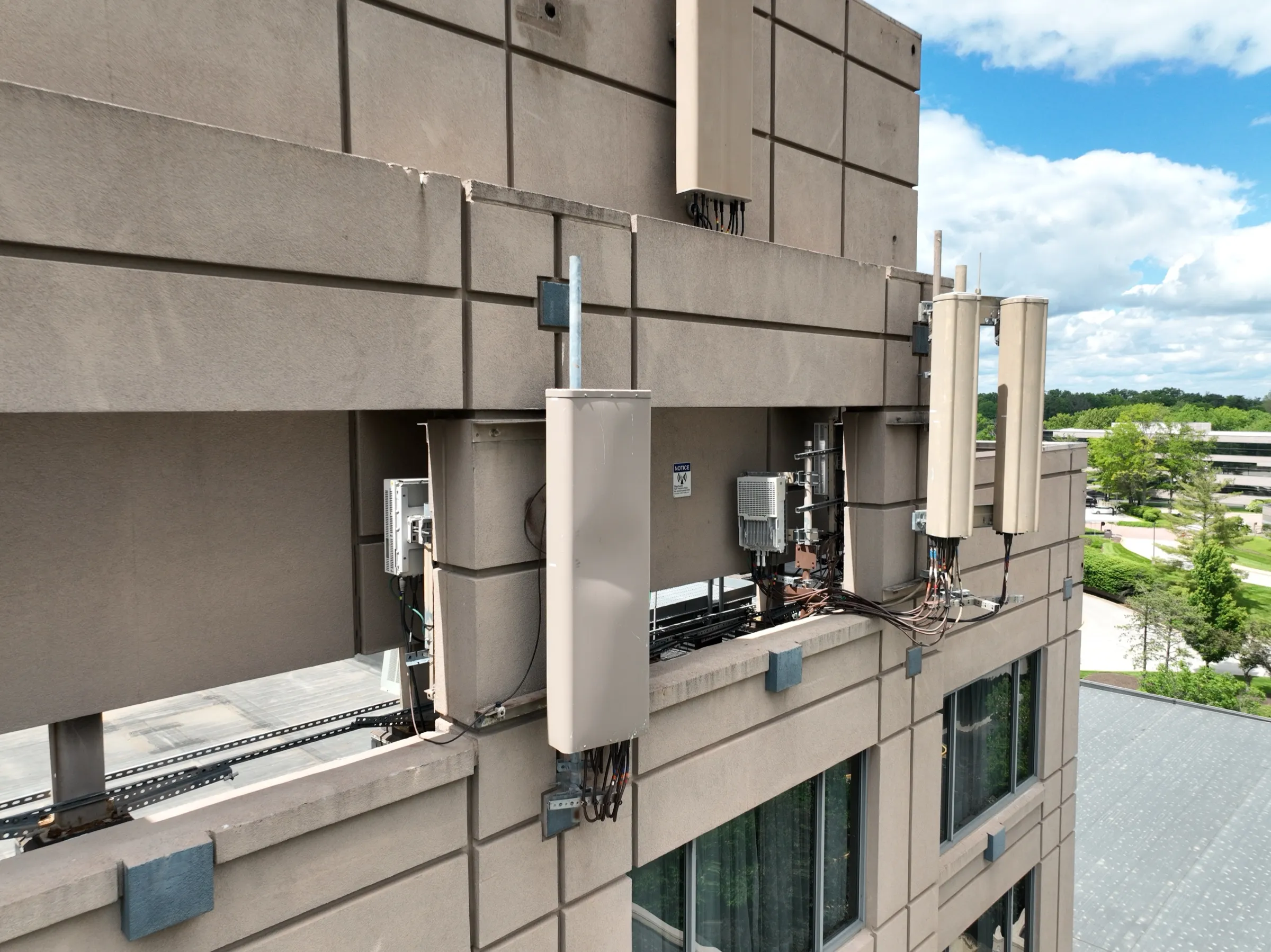
Capture the full structure alongside targeted views of antennas, mounts, cabling, and supporting hardware.
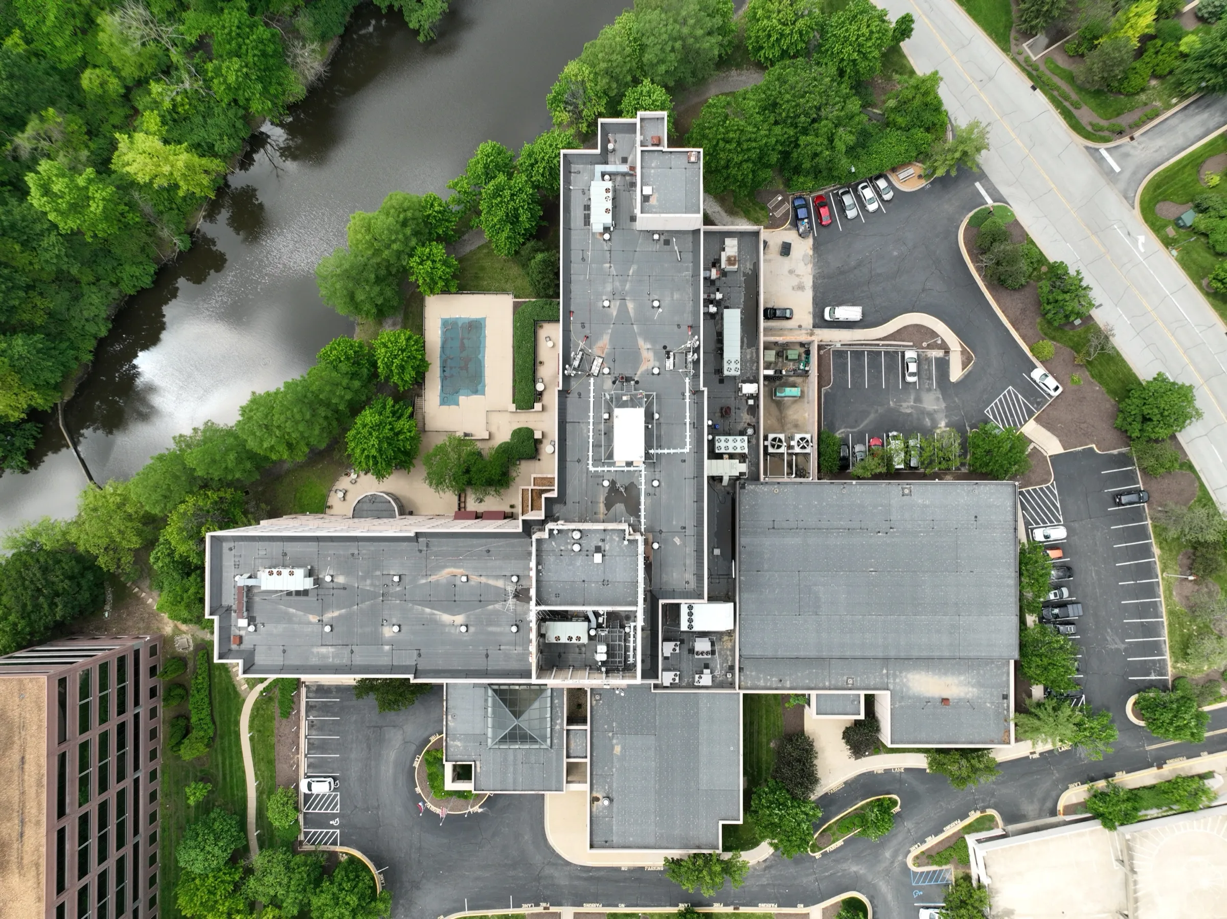
Roofs and building envelopes
Document roof surfaces, edges, penetrations, facades, and other exterior areas for informed follow-up.
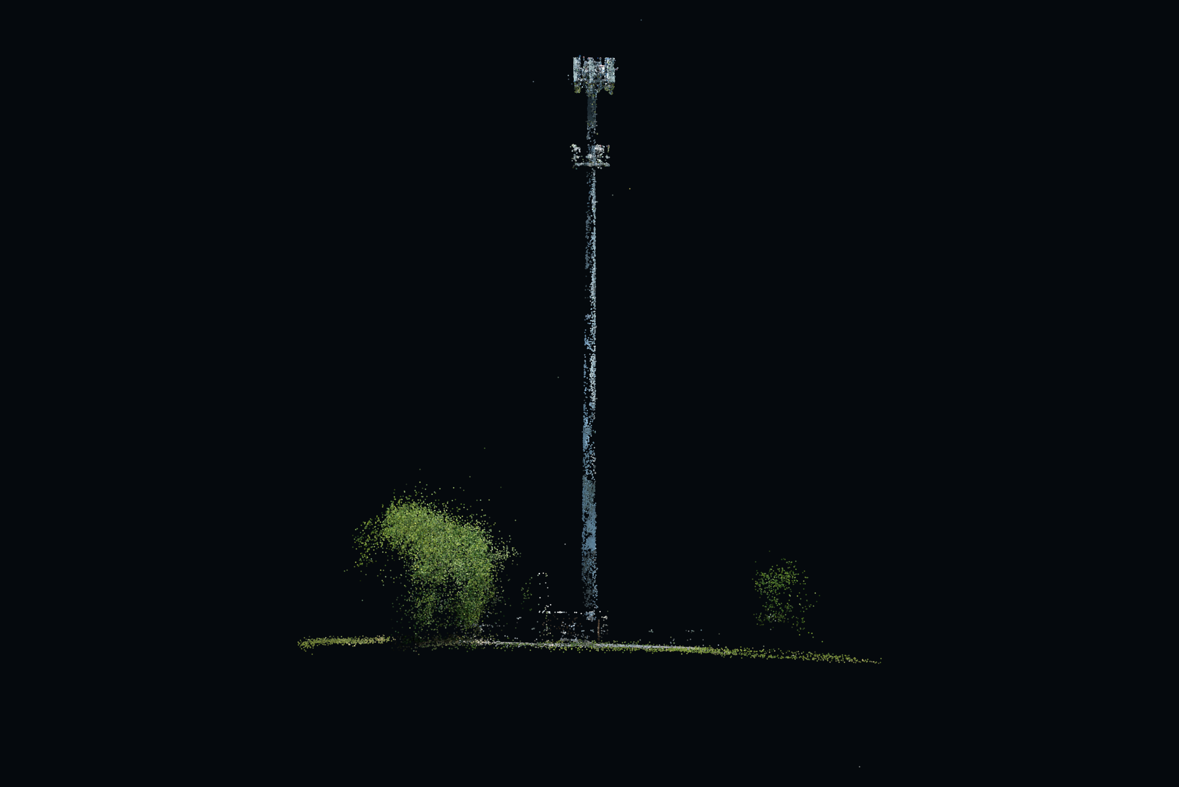
Point clouds and digital twins
Turn a structured capture into spatial context and an interactive visual reference for remote teams.
Evidence with structure
Context first. Details second. One coherent record.
Start with the overall asset, follow a consistent capture plan, and connect close views to locations that reviewers can understand.
Site context
Wide views establish the structure, surroundings, and access conditions.
Systematic coverage
Planned passes keep the record orderly from one area to the next.
Close evidence
Focused images show visible conditions that merit closer review.
Organized delivery
Clear groupings help reviewers find the relevant view quickly.
From question to review
A practical inspection workflow
- 01 Scope
Define the questions
Identify the asset, priority areas, reviewers, access constraints, and useful outputs.
- 02 Capture
Fly systematically
Gather overview and detail imagery with a deliberate, site-specific flight plan.
- 03 Process
Organize or reconstruct
Sort the captured media or process it into the agreed spatial and interactive outputs.
- 04 Deliver
Make review easy
Package the evidence so stakeholders can navigate, discuss, and act on it efficiently.
Featured inspection case
A cell tower you can inspect from a browser
This interactive visual record brings together 719 aligned drone views and an 83,473-point alignment cloud, giving remote reviewers an intuitive way to move from the whole structure to individual equipment areas.
Open the interactive tower twinFit the handoff to the team
Delivery options
Choose a focused visual package or combine formats to support different reviewers and decisions.
- Photographs
- Labeled image sets by face, sector, or elevation
- Overview video and walkthroughs
- Colored point clouds and 3D outputs
- Interactive Gaussian-splat digital twins
Straight answers before takeoff
Common questions
Does a drone inspection replace an engineer or certified inspector?
No. We capture and organize visual evidence for qualified reviewers; engineering judgments, certifications, and final determinations remain with the appropriate licensed professional.
Are the digital twins survey accurate?
No. These digital twins are built for visual review, orientation, and collaboration, and are not survey-certified products.
Which assets can be inspected?
Typical assignments include telecom towers and equipment, roofs, facades, building envelopes, and other elevated or difficult-to-access assets where aerial imagery can improve review.
Where do you provide inspection services?
We serve Louisville, Kentuckiana, and projects across the Midwest, with travel planned around site access, airspace, weather, and the requested deliverables.
How quickly can inspection deliverables be ready?
Same-week photo packages may be available for straightforward scopes. Digital-twin timelines vary with the asset, capture volume, processing requirements, and review needs.
Need a safer, clearer view of the asset?
Tell us what needs inspecting, who will review the results, and which decisions the evidence needs to support. We’ll shape the capture and delivery around that practical brief.